<< YCBA Home Yale Center for British Art Yale Center for British Art << YCBA Home

YCBA Collections Search

Search Constraints

You searched for:

Associated Places Great Britain

Remove constraint Associated Places: Great Britain

Work Type map

Remove constraint Work Type: map

Search Results

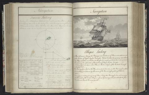
Rice, Edmund Nagle, -1801. A plan of mathematical learning taught in the Royal Academy, Portsmouth :
Rice, Edmund Nagle, -1801
A plan of mathematical learning taught in the Royal Academy, Portsmouth
approximately 1798-1799
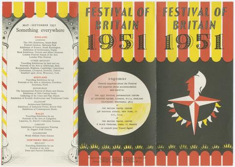
Festival of Britain (1951 : Great Britain) Britain at home to the world :
Festival of Britain (1951 : Great Britain)
Britain at home to the world
1951
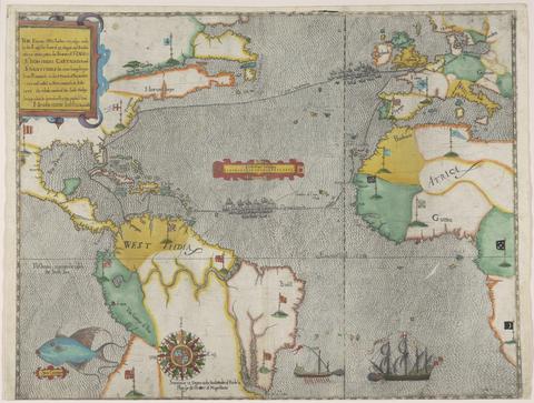
Boazio, Baptista. The famouse West Indian voyadge made by the Englishe fleete of 23 shippes and barkes
Boazio, Baptista
The famouse West Indian voyadge made by the Englishe fleete of 23 shippes and barkes
[1589?]
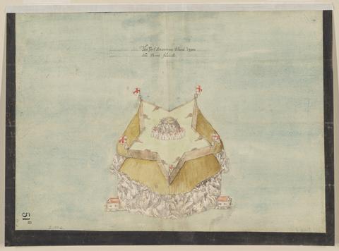
 The Fort Devereux placed uppon the Ferne Islande.
The Fort Devereux placed uppon the Ferne Islande
circa 1600
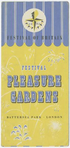
Festival of Britain (1951 : Great Britain) Festival pleasure gardens :
Festival of Britain (1951 : Great Britain)
Festival pleasure gardens
1951
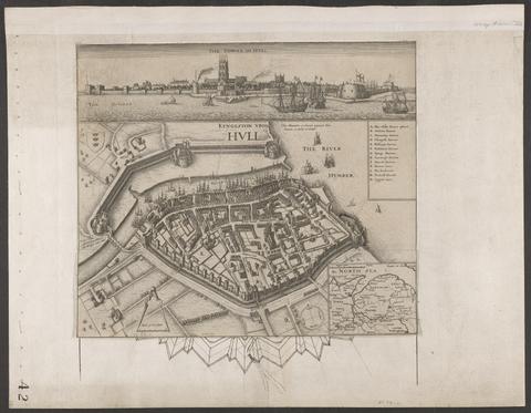
Hollar, Wenceslaus, 1607-1677. Kyngeston vpon Hvll.
Hollar, Wenceslaus, 1607–1677
Kyngeston vpon Hvll
circa 1642
Archer, James, approximately 1632-approximately 1680. Plan of the town of Hull and its immediate surroundings.
Archer, James, approximately 1632–approximately 1680
Plan of the town of Hull and its immediate surroundings
ca. 1680
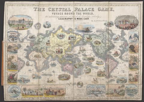
Evans, Henry Smith. The Crystal Palace game :
Evans, Henry Smith
The Crystal Palace game
[1854?]
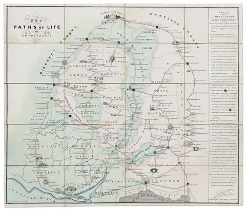
Cotterell, J. H. (Jacob Henry), -1868.  The paths of life /
Cotterell, J. H. (Jacob Henry), -1868
The paths of life
[circa 1840]
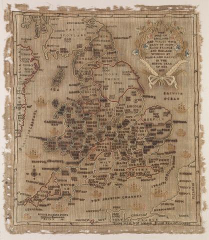
Harvey, Maria Ann, 1797-1893, creator. The map of England and Wales with part of Scotland, France and Ireland, worked by Maria Harvey in the ninth year of age.
Harvey, Maria Ann, 1797–1893
The map of England and Wales with part of Scotland, France and Ireland, worked by Maria Harvey in the ninth year of age
1806
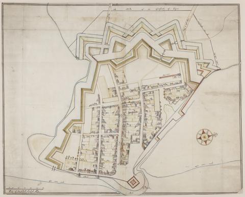
De Gomme, Bernard, 1620-1685, cartographer. The bounds of the fortificatie of Gosport.
De Gomme, Bernard, 1620–1685
The bounds of the fortificatie of Gosport
approximately 1678
Beckman, Martin, -1702.  Plans for the fortifications at Hull.
Beckman, Martin, -1702
Plans for the fortifications at Hull
1681-1682
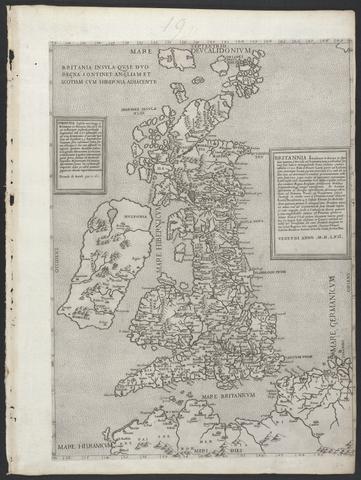
Lily, George, active 1528-1559. Britannia insula quae duo regna continet Angliam et Scotiam cum Hibernia adiacente.
Lily, George, active 1528–1559
Britannia insula quae duo regna continet Angliam et Scotiam cum Hibernia adiacente
MDLVI [1556]
Hipwell, John. The elements of navigation :
Hipwell, John
The elements of navigation
1759
Morden, Robert, approximately 1650-1703. A new mapp of England Scotland and Ireland
Morden, Robert, approximately 1650–1703
A new mapp of England Scotland and Ireland
[1678]
 The Coronation of Their Majesties King George VI & Queen Elizabeth :
The Coronation of Their Majesties King George VI & Queen Elizabeth
[1937]
Valck, G. (Gerard), 1651-1726, cartographer. Magna Britannia, aut Anglia, Scotia et Hibernia, quarum prior divisa in septem Regna, sive Provincias, dictas Northumbriam, Merciam, Angliam Orient. Essexiam, Cantium, Sussexiam, Westsexiam, et Princi. Walliae. posterior in Septent. et Austr. Scotiam. postrema in quatuor Provincias Ultoniam, Lageniam, Momoniam, et Conagtiam /
Valck, G. (Gerard), 1651–1726
Magna Britannia, aut Anglia, Scotia et Hibernia, quarum prior divisa in septem Regna, sive Provincias, dictas Northumbriam, Merciam, Angliam Orient. Essexiam, Cantium, Sussexiam, Westsexiam, et Princi. Walliae. posterior in Septent. et Austr. Scotiam. postrema in quatuor Provincias Ultoniam, Lageniam, Momoniam, et Conagtiam
[approximately 1705]
Peacock, W. (William), -1910, publisher. Peacock's Superior dissected maps :
Peacock, W. (William), -1910
Peacock's Superior dissected maps
[between 1875 and 1909]
Karl Baedeker (Firm) London and its environs :
Karl Baedeker (Firm)
London and its environs
1878
Great Britain. Ordnance Survey. [Old series Ordnance Survey maps of England and Wales]
Great Britain. Ordnance Survey
[Old series Ordnance Survey maps of England and Wales]
[1839-1874?]
De Gomme, Bernard, 1620-1685.  Plans for fortification and harbor works at Dunkirk.
De Gomme, Bernard, 1620–1685
Plans for fortification and harbor works at Dunkirk
1661-1662?
Storff, Paul Auguste de. Plan of the fortification at Sandown, Isle of Wight.
Storff, Paul Auguste de
Plan of the fortification at Sandown, Isle of Wight
[1671?]
Gardner, W. R., cartographer, engraver. New and Improved map of England and Wales, including the principal part of Scotland :
Gardner, W. R.
New and Improved map of England and Wales, including the principal part of Scotland
16th. April 1823
Phillips, Thomas, -1693.  Nautical chart of the east coast of Guernsey.
Phillips, Thomas, -1693
Nautical chart of the east coast of Guernsey
ca. 1680
Valck, G. (Gerard), 1651-1726, cartographer. Les isles Britanniques, qui contiennent les Royaumes d'Angleterre, Escosse, et Irlande :
Valck, G. (Gerard), 1651–1726
Les isles Britanniques, qui contiennent les Royaumes d'Angleterre, Escosse, et Irlande
[approximately 1695]
 Britannia prout divisa fuit temporibus Anglo-Saxonum praesertim durante illorum heptarchia
Britannia prout divisa fuit temporibus Anglo-Saxonum praesertim durante illorum heptarchia
[1645]
Beckman, Martin, -1702. The groundplott of Bouche de Vale on the N.W. side of Guarnsey /
Beckman, Martin, -1702
The groundplott of Bouche de Vale on the N.W. side of Guarnsey
1690
Boazio, Baptista. S. Augustini pars est terrae Florida
Boazio, Baptista
S. Augustini pars est terrae Florida
[1588?]
Cradock-Watson, Jane, book artist. Ordnance survey.
Cradock-Watson, Jane
Ordnance survey
[2014]
Storff, Paul Auguste de. Plan of Carisbrooke Castle, Isle of Wight.
Storff, Paul Auguste de
Plan of Carisbrooke Castle, Isle of Wight
[1671?]
Storff, Paul Auguste de. Plan of fortification, possibly at Newtown, Isle of Wight.
Storff, Paul Auguste de
Plan of fortification, possibly at Newtown, Isle of Wight
December, 1671
Greenough, George Bellas, 1778-1855, cartographer. A geological map of England & Wales /
Greenough, George Bellas, 1778–1855
A geological map of England & Wales
November 1st, 1819 [that is, 1820]
 The railways in Great Britain :
The railways in Great Britain
[between 1840 and 1862]
Rapkin, J., cartographer, engraver.  The illustrated atlas and modern history of the world :
Rapkin, J.
The illustrated atlas and modern history of the world
[1851?]
 Description of Jarsey.
Description of Jarsey
1600
Cheffins, Charles F. Cheffins's map of the English & Scotch railways.
Cheffins, Charles F
Cheffins's map of the English & Scotch railways
[1843]
Badeslade, Thomas. A compleat sett of mapps of England and Wales in general, and of each county in particular :
Badeslade, Thomas
A compleat sett of mapps of England and Wales in general, and of each county in particular
1724
 Plans for the Citadel at Hull.
Plans for the Citadel at Hull
1681-1682
 Public works of Great Britain :
Public works of Great Britain
1838
De Gomme, Bernard, 1620-1685.  Plan for the Citadel at Hull.
De Gomme, Bernard, 1620–1685
Plan for the Citadel at Hull
[1681?]
Bush, Tracey, artist.  British Butterflies :
Bush, Tracey
British Butterflies
2005
Camden, William, 1551-1623. Britannia, or, A chorographical description of the flourishing kingdoms of England, Scotland, and Ireland, and the islands adjacent :
Camden, William, 1551–1623
Britannia, or, A chorographical description of the flourishing kingdoms of England, Scotland, and Ireland, and the islands adjacent
1806
Phillips, Thomas, -1693.  Nautical chart of Grand Havre, Guernsey.
Phillips, Thomas, -1693
Nautical chart of Grand Havre, Guernsey
ca. 1680
Storff, Paul Auguste de. Plans of the fortifications at Newport and Cowes, Isle of Wight.
Storff, Paul Auguste de
Plans of the fortifications at Newport and Cowes, Isle of Wight
[1671?]
Froggett, John, active 1808-1821, cartographer.  Froggett's survey of the country thirty miles round London, 1836
Froggett, John, active 1808–1821
Froggett's survey of the country thirty miles round London, 1836
[1836]
 The Castell Perrott placed uppon the rocke cauled the stacke.
The Castell Perrott placed uppon the rocke cauled the stacke
circa 1600
 Bradshaw's railway map of Great Britain and Ireland.
Bradshaw's railway map of Great Britain and Ireland
1873
Archer, James, approximately 1632-approximately 1680. Plan of Scarbrogh Castle & towne /
Archer, James, approximately 1632–approximately 1680
Plan of Scarbrogh Castle & towne
circa 1680
Salter, Ann, b. 1830 or 1831, creator. The United Kingdom /
Salter, Ann, b. 1830 or 1831
The United Kingdom
early 1840s?
 Plan of a fortification in Guernsey.
Plan of a fortification in Guernsey
July 20, 1682
Lily, George, active 1528-1559. Britania insula quae duo regna continet Angliam et Scotiam cum Hibernia adiacente /
Lily, George, active 1528–1559
Britania insula quae duo regna continet Angliam et Scotiam cum Hibernia adiacente
anno MDLXII [1562]
Greenough, George Bellas, 1778-1855, cartographer. A geological map of England & Wales /
Greenough, George Bellas, 1778–1855
A geological map of England & Wales
November 1st, 1819 [that is, 1820]
Artis, Edmund Tyrell, 1789-1847, author, illustrator. The Durobrivae of Antoninus :
Artis, Edmund Tyrell, 1789–1847
The Durobrivae of Antoninus
1828
Matthews, John, lieutenant in the Royal Navy, author, illustrator, publisher. Twenty-one plans, with explanations of different actions in the West Indies, during the late war /
Matthews, John, lieutenant in the Royal Navy
Twenty-one plans, with explanations of different actions in the West Indies, during the late war
MDCCLXXXIV [1784]
Bourne, John C., author, illustrator. The history and description of the Great Western Railway :
Bourne, John C.
The history and description of the Great Western Railway
MDCCCXLVI [1846]
Lily, George, active 1528-1559. Britanniae insulae quae nunc Angliae et Scotiae regna continet cum Hibernia adjacente nova descriptio.
Lily, George, active 1528–1559
Britanniae insulae quae nunc Angliae et Scotiae regna continet cum Hibernia adjacente nova descriptio
MDXLVI [1546]
Lily, George, active 1528-1559. Britanniae insulae quae nunc Angliae et Scotiae regna continet cum Hibernia adiacente.
Lily, George, active 1528–1559
Britanniae insulae quae nunc Angliae et Scotiae regna continet cum Hibernia adiacente
MDLVIII [1558]
Lowry, Howard Foster, 1901-1967, author. 'What was, and is, and will abide ...' :
Lowry, Howard Foster, 1901–1967
'What was, and is, and will abide ...'
1943
Bryars, Tim, author. A history of the twentieth century in 100 maps /
Bryars, Tim
A history of the twentieth century in 100 maps
2014
Blaeu, Willem Janszoon, 1571-1638. Blaeu's Atlas of England, Scotland, Wales and Ireland
Blaeu, Willem Janszoon, 1571–1638
Blaeu's Atlas of England, Scotland, Wales and Ireland
[1970]
Moule, Thomas, 1784-1851. The county maps of old England /
Moule, Thomas, 1784–1851
The county maps of old England
1990
Higley, Chris. Old Series to Explorer :
Higley, Chris
Old Series to Explorer
2011
Dorling, Daniel, cartographer. People and places
Dorling, Daniel
People and places
2016