Search Constraints
You searched for:
Period 19th century
Remove constraint Period: 19th centuryWork Type atlase
Remove constraint Work Type: atlaseSearch Results
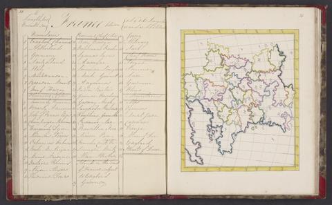
1
- A selection of maps
- 1818

2
- Cary's new universal atlas
- 1808
3
- Geographiske chartor öfver Swerige
- 1797-1807
4
- A topographical dictionary of England
- 1831
5
- Voyage autour du monde sur la frégate la Vénus, pendant les années 1836-1839
- 1840-1864
6
- An atlas, comprising maps of the several counties, divided into unions, and of the islands of Guernsey, Jersey, and Man
- 1842
7
- Atlas of the counties of England
- April 1st, 1834
8
- [Composite atlas of nautical charts]
- 1790-1805
9
- Plans of the cities and boroughs of England and Wales
- 1832
10
- Hobson's fox-hunting atlas
- [1850?]
11
- [Plans of borough towns included in List no. VIII on Parliamentary representation, 1832]
- [1832]
12
- The Atlantic Neptune
- [1774-1800?]
13
- Plans of the several lines of railway in Ireland
- 1837
14
- Journal de la navigation autour du globe, de la frégate La Thétis et de la corvette L'Espérance, pendant les années 1824, 1825, et 1826
- MDCCCXXXVII [1837]
15
- [Composite atlas of Caribbean charts]
- 1763-1808
16
- Manuscript atlas of Europe, Asia, and South America
- 1878
17
- Voyage autour du monde, exécuté par ordre de Sa Majesté l'empereur Nicolas 1er, sur la corvette le Séniavine, dans les années 1826, 1827, 1828 et 1829
- 1835-36
18
- Hobson's fox-hunting atlas
- [1848]
19
- Puteshestvi︠e︡ vokrug svi︠e︡ta v 1803, 4, 5, i 1806 godakh
- 1809-1813
20
- First course of maps
- approximately 1870