The groundplott of Bouche de Vale on the N.W. side of Guarnsey
1690
52
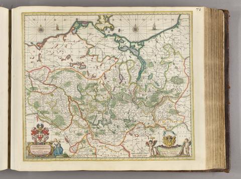
Zeiller, Martin, 1589–1661
M. Z. Topographia Electorat Brandenburgici et Ducatus Pomeraniae, das ist, Beschreibung der vornembsten und bekantisten Stätte und Plätz in dem hochlöblichsten Churfürstenthum und March Brandenburg, und dem Hertzogtum Pommeren
[1652]
53
Browne, Christopher, active 1684–1712
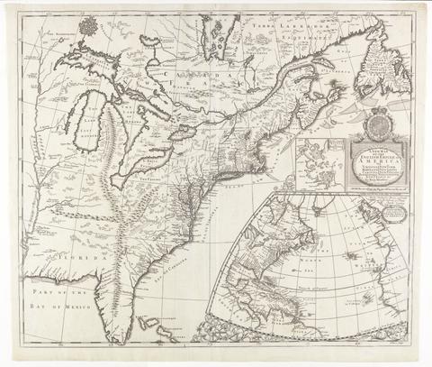
A new map of Virginia, Maryland, and the improved parts of Pennsylvania & New Jersey
[1685?]
54
The first map of Australia
[1856]
55
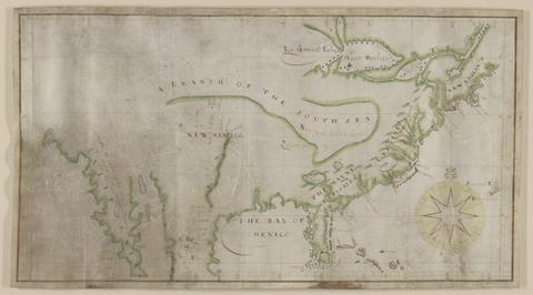
Lederer, John
The discoveries of John Lederer
1672
56
Zeiller, Martin, 1589–1661
Topographia Italiæ
MDCLXXXIIX [1688]
57
Morden, Robert, approximately 1650–1703
England
[1695?]
58
Zeiller, Martin, 1589–1661
Topographia Bavariæ, das ist, Beschreib. vnd aigentliche Abbildung der vornembsten Stätt vnd Orth in Ober vnd Nieder Beÿern, der obern Pfaltz, vnd andern, zum hochlöblichen Baÿrischen Craisse gehörigen Landschaften
MDCXLIV [1644]
59
Zeiller, Martin, 1589–1661
Topographia Palatinatus Rheni et vicinarum regionum
1645
60
Storff, Paul Auguste de
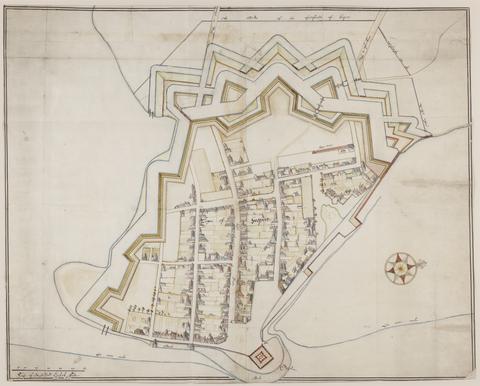
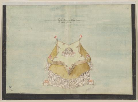
Plan of fortification, possibly at Newtown, Isle of Wight
December, 1671
61
Blome, Richard, 1635–1705
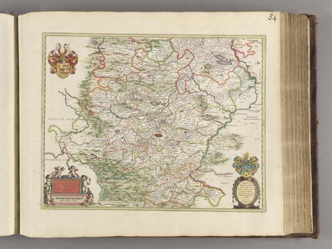
A mapp of Cambridgshire
[1673]
62
Zeiller, Martin, 1589–1661
Topographia Sueviae, das ist, Beschreib. vnd aigentliche Abcontrafeitung der fürnembste[n] Stätt vnd Plätz in Ober vnd Nider Schwaben, Herzogthum Würtenberg, Marggraffschafft Baden vnd andern zu dem hochlöbl. schwabischen Craisse gehörigen Landtschafften vnd Orten
MDCXLIII [1643] [i.e. ca. 1655]
63
Jansson, Jan, 1588–1664
Cantabrigiensis comitatus
[not before 1645]
64
Storff, Paul Auguste de
Plan of Carisbrooke Castle, Isle of Wight
[1671?]
65
Hennepin, Louis, active 17th century
A new discovery of a vast country in America
1698
66
Exquemelin, A. O. (Alexandre Olivier)
Bucaniers of America, or, A true account of the most remarkable assaults committed of late years upon the coasts of the West-Indies, by the bucaniers of Jamaica and Tortuga, both English and French : wherein are contained more especially, the unparallel'd exploits of Sir Henry Morgan, our English Jamaican hero, who sack'd Puerto Velo, burnt Panama &c.
1684-1685
67
Zeiller, Martin, 1589–1661
Topographia Germaniae-Inferioris
[1659]
68
Phillips, Thomas, -1693
Nautical chart of Grand Havre, Guernsey
ca. 1680
69
Zeiller, Martin, 1589–1661
Topographia Galliae, sive, Descriptio et delineatio famosissimorum locorum in potentissimo regno Galliae
1655-1661
70
Description of Jarsey
1600
71
Zeiller, Martin, 1589–1661
Topographia Franconiæ
[1648?]
72
Sanderus, Antoine, 1586–1664
Flandria illustrata, sive, Descriptio comitatus istius per totum terraru[m] orbem celeberrimi, III tomis absoluta
MDCXXXXI-MDCXXXXIIII [1641]-[1644]
73
Speed, John, 1552?-1629
Cambridgshire
1610
74
Kip, William
Angliae descpiptio [sic]
[ca. 1602]
75
Kip, William
Belgiae descriptio
[ca. 1602]
76
De Gomme, Bernard, 1620–1685
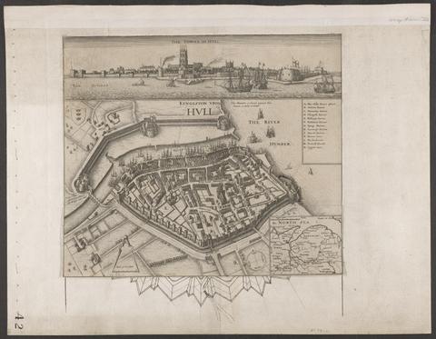
Plan for the Citadel at Hull
[1681?]
77
Morden, Robert, approximately 1650–1703
To Captain John Wood this map of the world drawn according to Mercators projection humbly dedicated by Robt. Morden & Willm. Berry
[approximately 1682?]
78
Zeiller, Martin, 1589–1661
Topographia vnd eigentliche Beschreibung der vornembsten Stätte, Schlösser auch anderer Plätze vnd Örter in denen Hertzogthumer̃ Braunschweig vnd Lüneburg
MDCLIIII [1654]
79
Archer, James, approximately 1632–approximately 1680