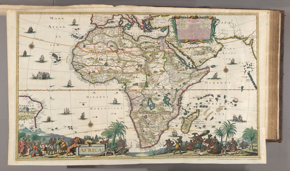
Amsterdam : Gedruckt by Gerard Valck ..., [ca. 1686?]
Physical Description:
1 map : hand colored ; 57 x 94 cm, on sheet 62 x 102 cm
Holdings:
Rare Books and ManuscriptsFolio C 2015 1Yale Center for British Art, Paul Mellon Collection
Copyright Status:
Public Domain
Related Content:
View a selection of digital images in the Yale Center for British Art's online catalogue
https://collections.britishart.yale.edu/catalog/orbis:14629954
Classification:
Maps & Atlas (printed)
Notes:
Relief shown pictorially."Cum privilegio ordinum Hollandiae et Westfrisiae."Appears in Atlas minor sive geographia compendiosa, published by Nicolaes Visscher (1649-1702) and his widow in various editions from ca. 1683 to ca. 1716.The map is unrecorded in Norwich's Maps of Africa: an illustrated and annotated carto-bibliography (Donker, 1983). Elements of the map are similar to Valck's L'afrique divisée suivant l'estendue de ses principales parties (1680; Norwich no. 49), including the depictions of an elephant, lion, leopard, camel, and crocodile at lower left.Koeman, C. Atlantes Neerlandici, v. III, p. 137, no. 4Fairman, E. "'Wherin all trauailers may vnderstand how to direct their voyages': Maps and Atlases at the Yale Center for British Art from the Bequest of Paul Mellon." In Yale University Library Gazette, 75 (2001), page 124BAC: British Art Center copy is bound as map 71 in part 2 of a composite atlas issued by Nicolaes Visscher with title: Atlas minor, sive, Geographia compendiosa, ca. 1716 (Folio C 2015 1). Hand-colored, with use of gold in the neat line and to mark select borders."Printed from two plates [sheets joined at 40° longitude]. With allegorical representations, scenes with inhabitants and inset on the calculation and construction of the geographical grid."--Koeman.