Amstelodami : Sumptibus Ioannis Iansony, [between 1641 and 1680]
Physical Description:
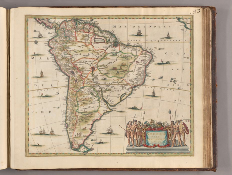
1 map ; 45 x 52 cm
Holdings:
Rare Books and Manuscripts Folio C 2015 1Yale Center for British Art, Paul Mellon Collection
Copyright Status:
Public Domain
Related Content:
View a selection of digital images in the Yale Center for British Art's online catalogue
https://collections.britishart.yale.edu/catalog/orbis:14629896
Classification:
Maps & Atlas (printed)
Notes:
Blank on the verso.Date estimated from editions of Jan Jansson's atlases.Relief shown pictorially.Includes towns, rivers and mountain ranges.Includes engravings of indigenous people and fauna.Includes a decorative title cartouche.Appears in Atlas minor sive geographia compendiosa, published by Nicolaes Visscher (1649-1702) and his widow in various editions from ca. 1683 to ca. 1716.BAC: British Art Center copy is bound en plano (unfolded) as map 93 in part 2 of a composite atlas issued by Nicolaes Visscher with title: Atlas minor, sive, Geographia compendiosa, ca. 1716 (Folio C 2015 1) (the numbering written in black ink at top right). Hand-colored, with use of gold in the neat line and to mark select borders.
Subject Terms:
South America -- Maps -- Early works to 1800. | Indians of South America.