Search Constraints
You searched for:
Image Available Available
Remove constraint Image Available: AvailableSubject Terms city planning
Remove constraint Subject Terms: city planningSearch Results

- Date:
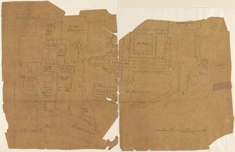
- ca. 1727
- Materials & Techniques:
- Graphite and pen and black ink on smooth, thin, brown wove paper
- Dimensions:
- Sheet: 11 13/16 x 18 5/16in. (30 x 46.5cm)
- Collection:
- Prints and Drawings
- Credit Line:
- Yale Center for British Art, Paul Mellon Collection

- Date:
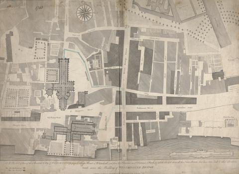
- printed 1740, drawn ca. 1760
- Materials & Techniques:
- Line engraving marked with pen and black ink, blue wash, and graphite on moderately thick, slightly textured, cream laid paper
- Dimensions:
- Sheet: 20 15/16 × 28 3/4 inches (53.2 × 73 cm)
- Collection:
- Prints and Drawings
- Credit Line:
- Yale Center for British Art, Paul Mellon Collection

- Date:
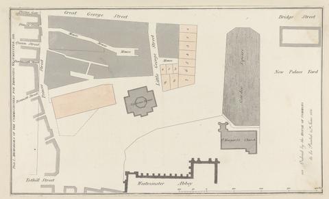
- 1811
- Materials & Techniques:
- Line engraving on smooth, medium, white wove paper
- Dimensions:
- Sheet: 7 5/8 × 12 5/8 inches (19.4 × 32.1 cm)
- Collection:
- Prints and Drawings
- Credit Line:
- Yale Center for British Art, Paul Mellon Collection