Search Constraints
You searched for:
Image Available Available
Remove constraint Image Available: AvailableLanguage Latin
Remove constraint Language: LatinClassification Maps & Atlas (printed)
Remove constraint Classification: Maps & Atlas (printed)Search Results

- Date:
- MDLXXVIII [1578]
- Physical Description:
- 1 map : engraving ; 40.5 x 53.5 cm, on sheet, 41.5 x 54.5 cm
- Collection:
- Rare Books and Manuscripts
- Credit Line:
- 22642031060008651|Yale Center for British Art, Paul Mellon Collection

- Date:
- MDXLVI [1546]
- Physical Description:
- 1 map on 2 sheets ; 51.8 x 72.2 cm, on sheet 56.2 x 76.3 cm.
- Collection:
- Rare Books and Manuscripts
- Credit Line:
- 22931377570008651|Yale Center for British Art, Paul Mellon Collection
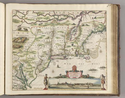
- Date:
- [ca. 1684]
- Physical Description:
- 1 map ; 46.1 x 55.9 cm, on sheet 52.4 x 62.9 cm
- Collection:
- Rare Books and Manuscripts
- Credit Line:
- 22709619810008651|Yale Center for British Art, Paul Mellon Collection
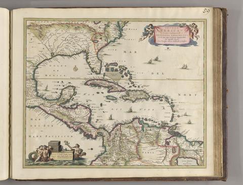
- Date:
- ca. 1682]
- Physical Description:
- 1 map : hand col. ; 44.8 x 55.1 cm.
- Collection:
- Rare Books and Manuscripts
- Credit Line:
- 22709619810008651|Yale Center for British Art, Paul Mellon Collection
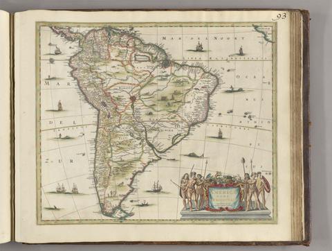
- Date:
- [between 1641 and 1680]
- Physical Description:
- 1 map ; 45 x 52 cm
- Collection:
- Rare Books and Manuscripts
- Credit Line:
- 22709619810008651|Yale Center for British Art, Paul Mellon Collection
![America [cartographic material].](https://media.collections.yale.edu/thumbnail/ycba/6f6a5b25-3bf2-4151-a3f1-3e9133dae84b)
- Date:
- [ca. 1686]
- Physical Description:
- 1 map : hand colored ; 56.5 x 95 cm, on sheet 63.5 x 102 cm
- Collection:
- Rare Books and Manuscripts
- Credit Line:
- 22709619810008651|Yale Center for British Art, Paul Mellon Collection
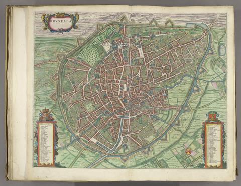
- Date:
- [1649]
- Physical Description:
- 1 atlas ([470] pages) : illustrations, maps, plans ; 54 cm
- Collection:
- Rare Books and Manuscripts
- Credit Line:
- 22915648000008651|Yale Center for British Art, Paul Mellon Collection
- Date:
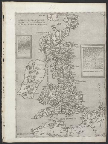
- MDLVI [1556]
- Physical Description:
- 1 map ; 47.9 x 34.5 cm, on sheet 53.3 x 40.0 cm.
- Collection:
- Rare Books and Manuscripts
- Credit Line:
- 22931384390008651|Yale Center for British Art, Paul Mellon Collection
![Africa [cartographic material].](https://media.collections.yale.edu/thumbnail/ycba/f326eddf-1bc5-4bb4-83a0-d7ac0f9b6f40)
- Date:
- [ca. 1686?]
- Physical Description:
- 1 map : hand colored ; 57 x 94 cm, on sheet 62 x 102 cm
- Collection:
- Rare Books and Manuscripts
- Credit Line:
- 22709619810008651|Yale Center for British Art, Paul Mellon Collection
- Date:
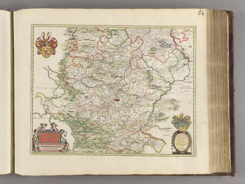
- [1650?]
- Physical Description:
- 1 map; 40 x 51 cm
- Collection:
- Rare Books and Manuscripts
- Credit Line:
- 22709619810008651|Yale Center for British Art, Paul Mellon Collection