Search Constraints
You searched for:
Associated Places North America
Remove constraint Associated Places: North AmericaSearch Results
1
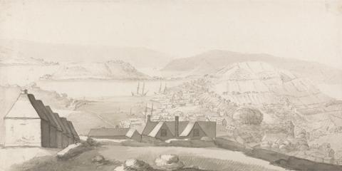
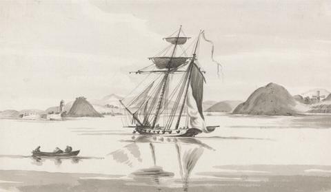
- A Panoramic View of Carlisle Bay, Barbados, with Cottages and Ships
- ca. 1820
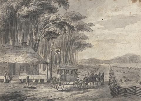
2
- American Stage Wagon
- undated
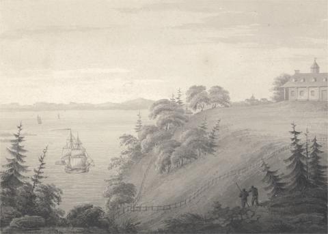
3
- View of Mount Vernon, the seat of General Washington
- 1795
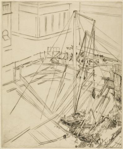
4
- A Manhattan Excavation
- 1923
5
- View of Carlisle Bay, Barbados, with Ships and Boat
- ca. 1820
6
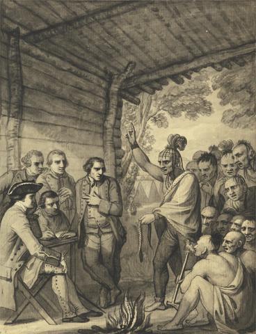
- The Indians Giving a Talk to Colonel Bouquet in a conference at a Council Fire Near his Camp on the Banks of Muskingum in America, in October 1764, 1765
- between 1765 and 1766
7
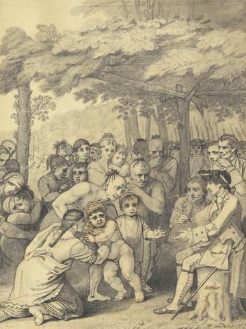
- The Indians Delivering up the English Captives to Colonel Bouquet near his camp at the folks of Muskingum in North America in November 1764, 1765
- between 1765 and 1766

8
- North America, and the West Indies
- [1764?]

9
- Map of North America
- not before 1634
10
- Twelve remarkable views in North America and West Indies
- [between 1771 and 1785]

11
- A voyage to North-America: undertaken by command of the present King of France
- MDCCLXVI [1766]
12
- The American military pocket atlas
- [1776]
13
- The English pilot
- MDCCLIII [1753]
14
- Uncle John's panorama of America
- 1854
15
- The North American atlas
- MDCCLXXVII [1777, i.e. 1778]
16
- A map of the British and French dominions in North America
- [that is, 1757]
17
- A map of the British colonies in North America
- [1775?]
18
- A map of the British Empire in America
- [ca. 1737]
19
- A new discovery of a vast country in America
- 1698
20
- The Atlantic Neptune
- [1774-1800?]
21
- American game mammals and birds;
- 1930
22
- Terzo volume delle nauigationi et viaggi
- l'anno MDLXV [1565]
23
- A map of ye English Empire in ye continent of America
- [19--?]
24
- The Hunter's encyclopedia
- [1948]
25
- A map of the British Empire in America, with the French and Spanish settlements adjacent thereto
- [1739]
26
- A map exhibiting all the new discoveries in the interior parts of North America
- [1811]
27
- Frank Forester's fish and fishing of the United States and British provinces of North America
- 1851
28
- Game cards
- 19th century
29
- A map of the British and French dominions in North America
- Febry 13th, 1755
30
- The story of American foxhunting
- c1940-
31
- Suite du Neptune françois, ou, Atlas nouveau des cartes marines
- MDCC [1700]
32
- A general map of North America
- [1762?]
33
- Early maps of North America
- 1961
34
- Mark Catesby: the colonial Audubon
- 1961
35
- Art, artisans and apprentices
- 2014
36
- John James Audubon
- c1993
37
- The mapping of North America
- c2007
38
- The mapping of North America
- c1996
39
- Hakluyt's promise
- c2007
40
- Roanoke and the colonial origins of the dismal science
- 2008
41
- The cartography of the northwest coast of America to the year 1800
- 1937
42
- The Official museum directory
43
- Printing in the Americas,
- [c1937]
44
- European visions
- c2009
45
- The Blood-horse
46
- Audubon's aviary
- 2012