Search Constraints
You searched for:
Associated Places Great Britain
Remove constraint Associated Places: Great BritainImage Available Available
Remove constraint Image Available: AvailableClassification Maps & Atlas (printed)
Remove constraint Classification: Maps & Atlas (printed)Search Results

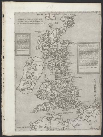
- Date:
- MDLVI [1556]
- Physical Description:
- 1 map ; 47.9 x 34.5 cm, on sheet 53.3 x 40.0 cm.
- Collection:
- Rare Books and Manuscripts
![The famouse West Indian voyadge made by the Englishe fleete of 23 shippes and barkes [cartographic material] : wherin weare gotten the townes of St . Iago, Sto. Domingo, Cartagena and St. Augustines : the same beinge begon from Plimmouth in the moneth of September 1585 and ended at Portesmouth in Iulie 1586 : the whole course of the saide viadge beinge plainlie described by the pricked line / newlie come forth by Baptista B.](https://media.collections.yale.edu/thumbnail/ycba/b67e0d67-e748-494a-ba84-e1105f721bb5)
- Date:
- [1589?]
- Physical Description:
- [5] sheets : maps (engravings)
- Collection:
- Rare Books and Manuscripts

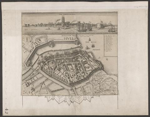
- Date:
- circa 1642
- Physical Description:
- 1 view : illustrations ; 31 x 30 cm
- Collection:
- Rare Books and Manuscripts
![[Old series Ordnance Survey maps of England and Wales]](https://media.collections.yale.edu/thumbnail/ycba/00e4c053-1da0-4b6a-9606-069ea90649fa)
- Date:
- 1805-1834 [i.e. 1834-1835?]
- Physical Description:
- 65 maps on 66 sheets : mounted on linen ; sheets 69 x 98 cm, or smaller + index.
- Collection:
- Rare Books and Manuscripts
![The theatre of the empire of Great Britaine : presenting an exact geography of the kingdomes of England, Scotland, Ireland, and the iles adioyning : with the shires, hundreds, cities and shire-townes, within [the] kingdome of England / divided and described by Iohn Speed.](https://media.collections.yale.edu/thumbnail/ycba/05faa311-179e-44bd-a185-63bd2c871197)
- Date:
- [1612]
- Physical Description:
- [14], 146 [that is 280], [10] pages : illustrations (woodcuts), 67 maps (metal cuts) ; 46 cm (folio)
- Collection:
- Rare Books and Manuscripts