Search Constraints
You searched for:
Genre cartographic material
Remove constraint Genre: cartographic materialImage Available Available
Remove constraint Image Available: AvailableSearch Results
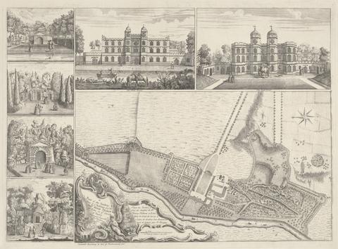
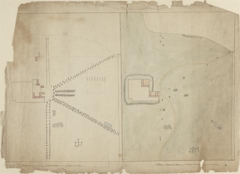
1
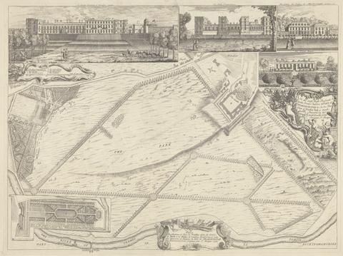
- A Plan of the Gardens & View of Ye Buildings of ye Right Honorable Henry Pelham, Esqr. at Echa in Ye County of Surrey
- 1737
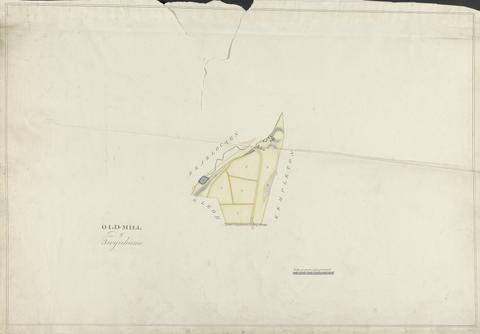
2
- Old Mill of Twynhame
- undated
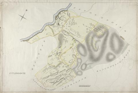
3
- Culdooch
- undated
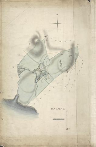
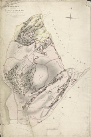
4
- Balmae
- undated
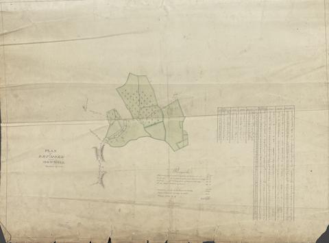
5
- Plan of Drumore and Howwell Meadows
- 1815
6
- Drumore Farm
- undated
7
- Culdoch
- undated
8
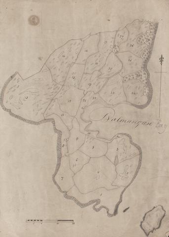
- Balmangan
- undated
9
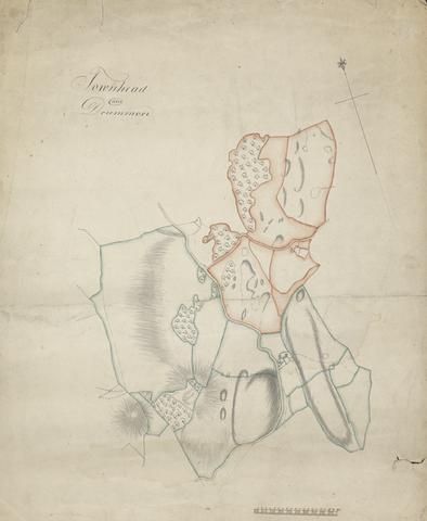
- Townhead and Drummore
- undated
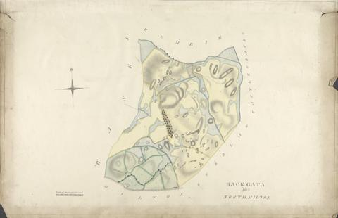
10
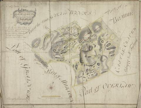
- Plan of the Back Gatas Lying in the Parish of Kirkcudbright
- 1764
11
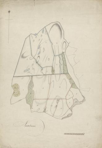
- Nuntons
- undated
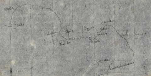
12
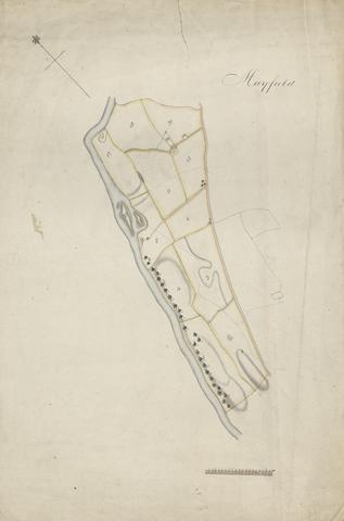
- Mayfield
- undated
13
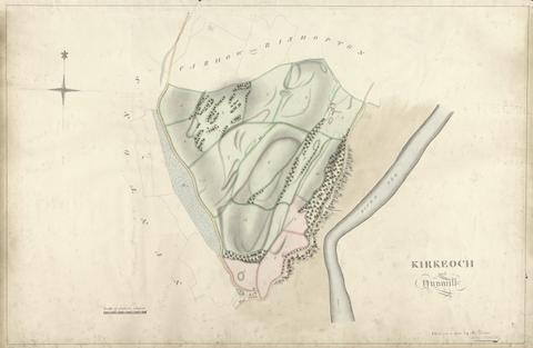
- Kirkeoch, Nun Mill
- undated
14
- Kirkland, Drumcroy, Auchenfloor, Cannee, Barhill and Silvercroigs
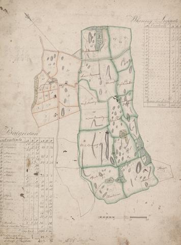
- undated
15
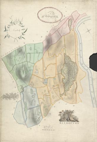
- Bishopton
- undated
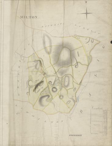
16
- Milton
- undated
17
- Palmangan
- undated
18
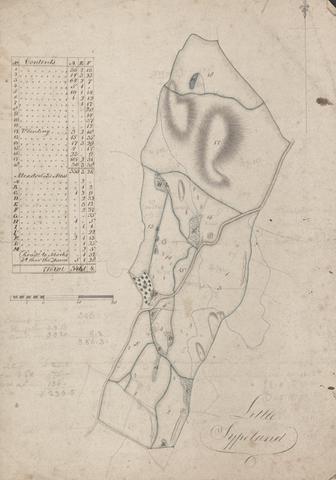
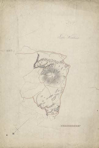
- Little Sypeland
- undated
19
- A Plan, from an eye-survey of Cobham Hall and the park to the west, and a plan of Cobham Hall and the park as proposed to be altered
- ca. 1790
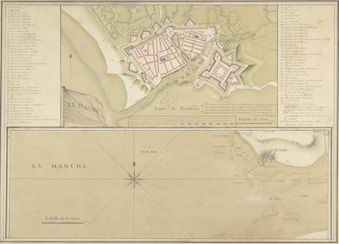
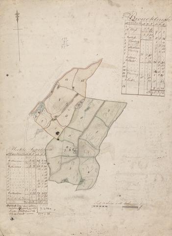
20
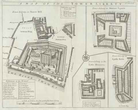
- Le Havre and Le Manche: A Map of Le Havre
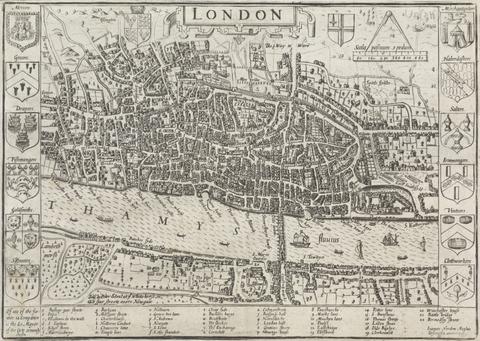
- undated
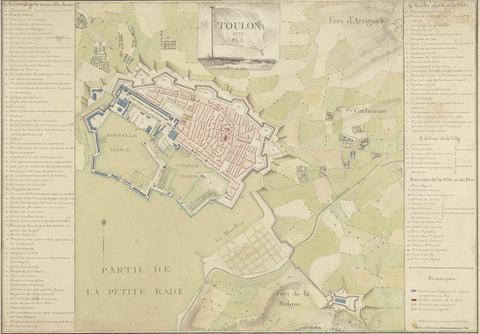
21
- Toulon
- 1777
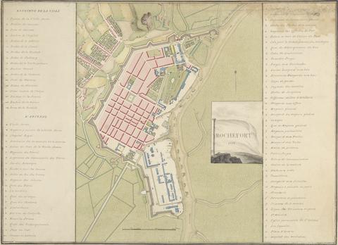
22
- Rochefort 1776
- 1776
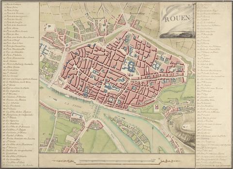
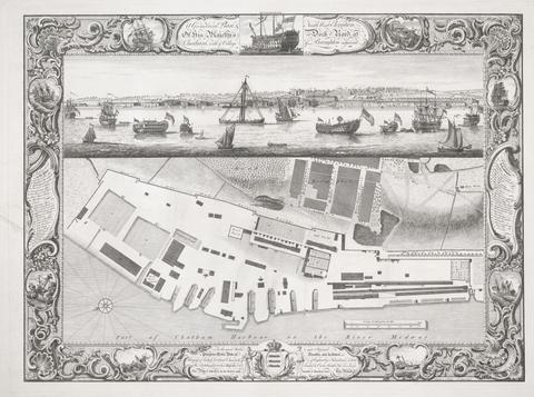
23
- Rouen: A Map of the City and Surrounding Areas
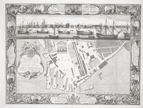
- undated
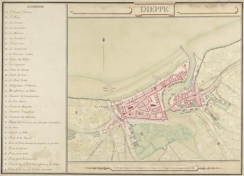
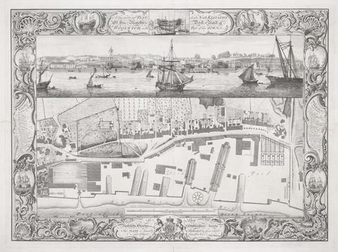
24
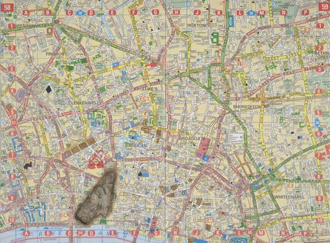
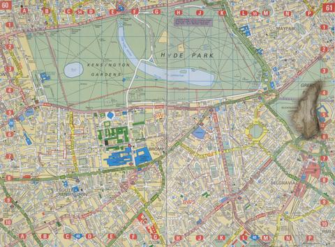
- Dieppe
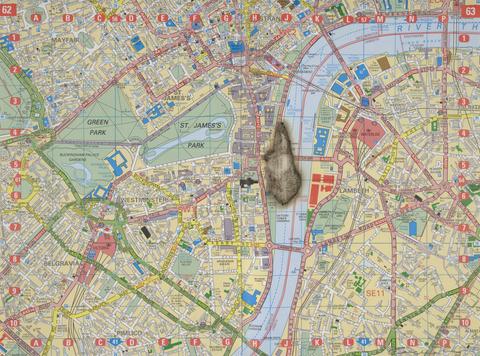
- undated
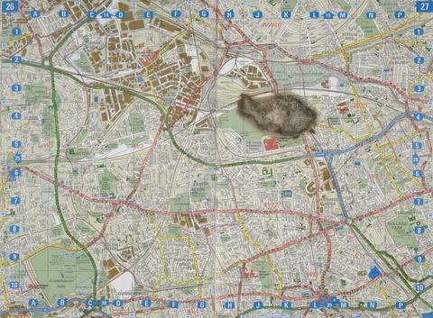
25
- ...Plan of Windsor Park
- 1738

26
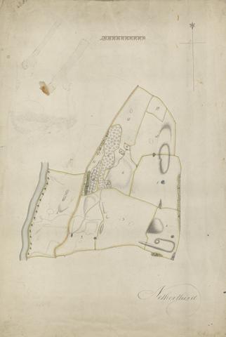
- Netherthird
- 1812
27
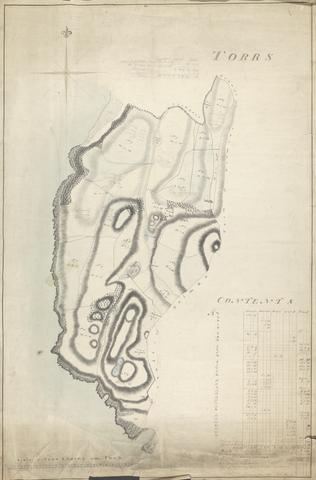
- Torrs
- undated
28
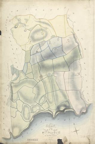
- Howel; Burnside; Silverhill; Gregory and Low Milton
- undated
29
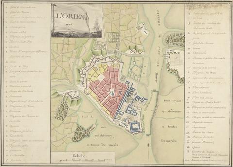
- L'Orient 1776: Map of the Port of Orient
- 1776
30
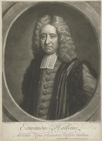
- Edmund Halley
- 1722
31
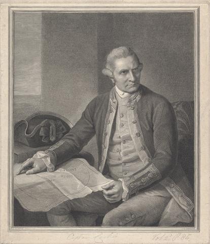
- Captain James Cook
- 1784
32
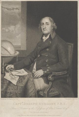
- Captain Joseph Huddart
- 1801
33
- The Waterfall at Dhumar Lena, Dry Except in Rains
- between 1793 and 1795
34
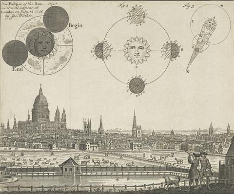
- The Eclipse of the Sun as it Will Appear at London on July 14, 1748
- 1748
35
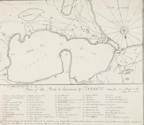
- Plan of the Ports & Environs of Taranto, Italy
- 1777 to 1779
36
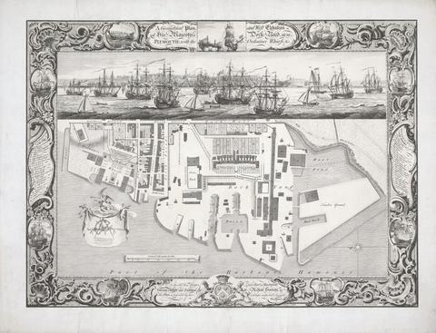
- Geometrical Plan of his Majesty's Dockyard, near Plymouth
- 1756
37
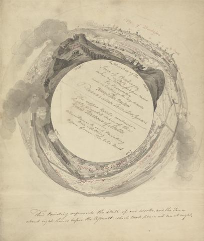
- Siege at Badajoz
- ca. 1813
38
- Gulf of Naples Map
- undated
39
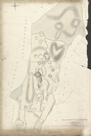
- Black - Stockarton
- undated
40
- Kirkeoch and Nunmill
- undated
41
- Bishopton
- undated
42
- The Farm Consisting of Kirkland Drumcroy, Auchenfloor, Cannee, Barhill and Silvercraigs (formerly Nuntons)
- undated
43
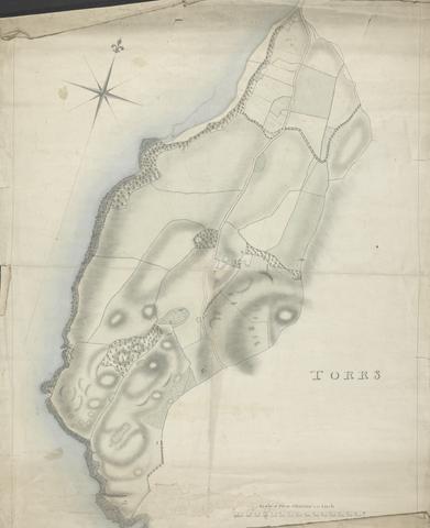
- Torrs
- 1808

44
- Nuntons
- undated
45
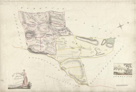
- Little Stockartown and Jurdiland
- undated
46
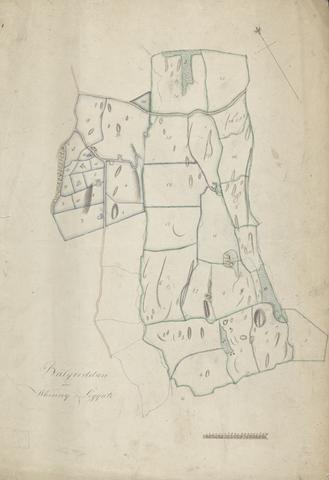
- Whinny Liggate; Balgreddan
- undated
47
- Back, Gata and North, Milton
- undated
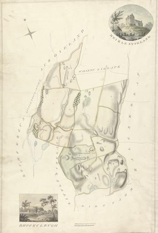
48
- Meikle Sypeland; Brockcleugh
- undated

49
- Little Sypeland
- undated
50
- Milton
- undated
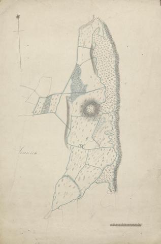
51
- Senwick
- undated

52
- Culraven and Broadfield
- undated
53
- Little Kirkland
- undated
54
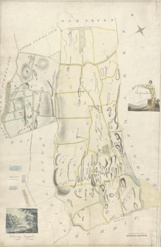
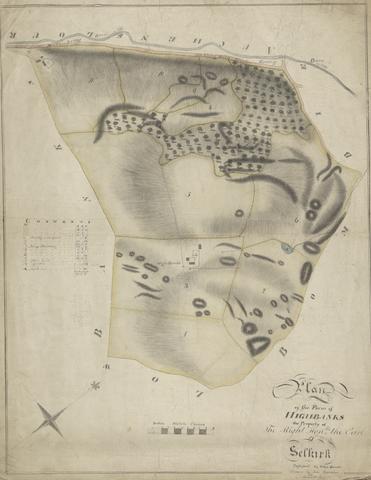
- Farm of Highbanks
- 1813
55
- Netherthird
- undated
56
- Balgreddan and Whinny Liggate
- undated
57
- North Nunton; South Nunton
- undated
58
- Bombie Mill, Bombie, Tongue of Bombie
- undated
59
- The Farm
- undated
60
- Bishopton
- undated
61
- Whinny Liggate; Balgredan
- undated
62
- Brouckleugh; Mickle Sypeland
- undated
63
- A Map of the Tower Liberty
64
- London
- 1593
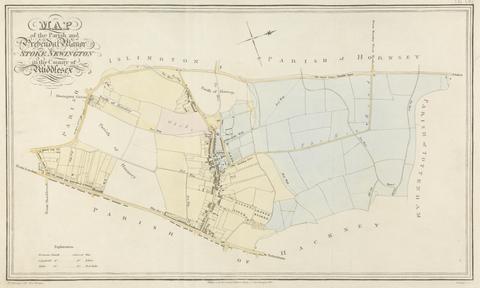
65
- Map of the Parish and Prehendal Manor of Stoke Newington
- 1820
![Mrs. P. D. H. Page Coastal Profiles of Dominica and Santa Cruz, after the original by John White in the British Museum [Caribbean and Oceanic, No. 2]](https://media.collections.yale.edu/thumbnail/ycba/87265a76-e03b-41c1-8f1b-d4a20ba2b191)
66
- Coastal Profiles of Dominica and Santa Cruz, after the original by John White in the British Museum [Caribbean and Oceanic, No. 2]
- undated
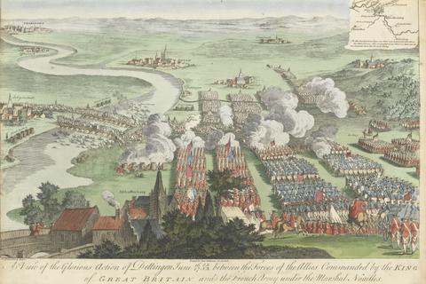
67
- A View of the Glorious Action of Dettingen June 16/27 O.S.N.S between the Forces of tghe Allies Commanded by the King of Great Britain and the French Army under the Marshal Noailles
![Mrs. P. D. H. Page Map of North America from Florida to Chesapeake Bay, after the original by John White in the British Museum [Sir Walter Raleigh's Virginia, No. 110]](https://media.collections.yale.edu/thumbnail/ycba/f14d2599-644f-40b2-8aee-01feeb08ac1a)
68
- Map of North America from Florida to Chesapeake Bay, after the original by John White in the British Museum [Sir Walter Raleigh's Virginia, No. 110]
- undated
![Mrs. P. D. H. Page Map of Raleigh's Virginia: The East Coast of North America from Cape Lookout to Chesapeake Bay, after original by John White in the British Museum [Sir Walter Raleigh's Virginia, No. 111 A]](https://media.collections.yale.edu/thumbnail/ycba/aa273bf1-4d54-4726-99f1-aa8836010023)
69
- Map of Raleigh's Virginia: The East Coast of North America from Cape Lookout to Chesapeake Bay, after original by John White in the British Museum [Sir Walter Raleigh's Virginia, No. 111 A]
- undated
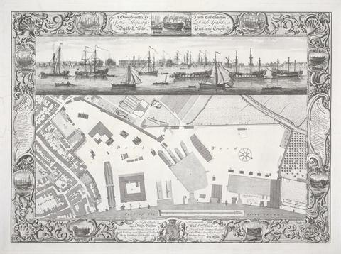
70
- Geometrical Plan of his Majesty's Dockyard, Deptford
- 1755
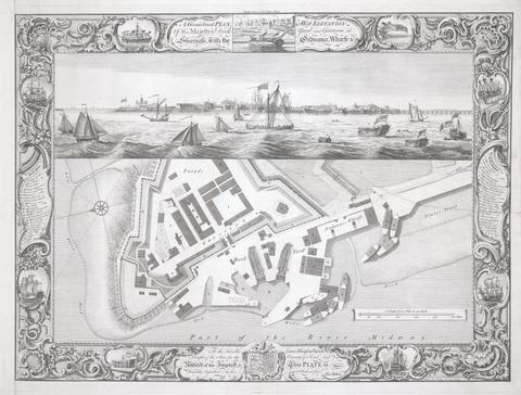
71
- Geometrical Plan of his Majesty's dockyard, at Sheerness
- 1755
72
- Geometrical plan of his Majesty's Dockyard near Portsmouth
- 1754
73
- Geometrical Plan of his Majesty's Dockyard, at Chatham
- 1755
74
- Geometrical Plan of his Majesty's Dockyard, at Woolwich
- 1753
75
- Meteorite Lands on the Millennium Dome
- 1998
76
- Meteorite Lands the Houses of Parliament
- 1998

77
- City Index 21
- 2006

78
- City Index 24
- 2006
79
- City Index 25
- 2006
80
- City Index 27
- 2006
81
- City Index 22
- 2006
82
- City Index 28
- 2006

83
- City Index 16
- 2006

84
- City Index 23
- 2006

85
- City Index 30
- 2006
86
- City Index 18
- 2006

87
- City Index 32
- 2006
88
- City Index 34
- 2006
89
- City Index 35
- 2006
90
- City Index 33
- 2006
91
- Meteorite Lands on St Paul's Cathedral
- 1998
92
- Meteorite Lands on Buckingham Palace
- 1998
93
- Meteorite Lands on Wormwood Scrubs
- 1998
94
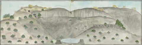
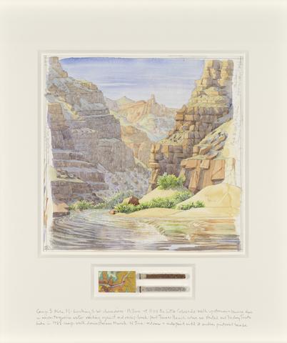
- Camp 3
- 2017
95
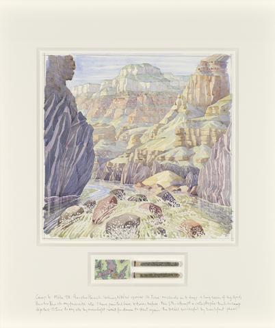
- Camp 4
- 2017
96
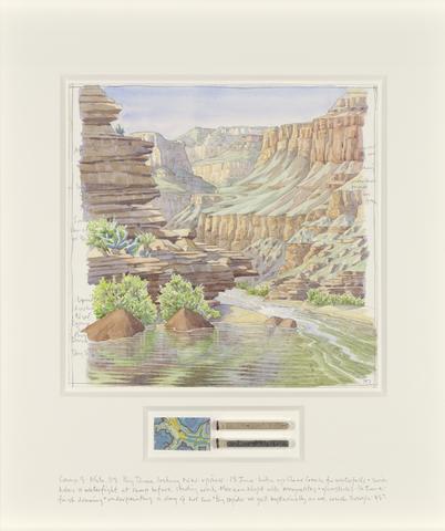
- Camp 5
- 2017
97
- Map of Ruin
- 2010

98
- City Index 12
- 2006
99
- City Index 1
- 2006
100
- City Index 3
- 2006