<< YCBA Home Yale Center for British Art Yale Center for British Art << YCBA Home

YCBA Collections Search

Search Constraints

You searched for:

Period 18th century

Remove constraint Period: 18th century

Form genre ss Maps.

Remove constraint Form genre ss: Maps.

Classification Maps & Atlas (printed)

Remove constraint Classification: Maps & Atlas (printed)

Search Results

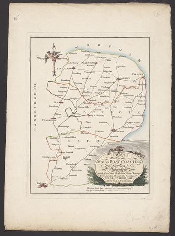
Boulton, George. The route of the mail & post coaches, George Boulton & Co. proprietors :
Boulton, George
The route of the mail & post coaches, George Boulton & Co. proprietors
[between 1796 and 1809]
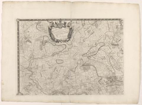
Rocque, John, -1762. The environs of London :
Rocque, John, -1762
The environs of London
[1763]
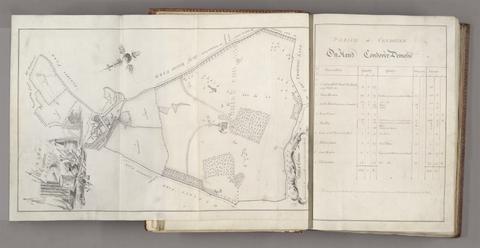
Probert, John, active 1764, cartographer, surveyor. A survey and valuation of estates the property of Nicholas Smyth Esqr. and his Lady :
Probert, John, active 1764
A survey and valuation of estates the property of Nicholas Smyth Esqr. and his Lady
1767
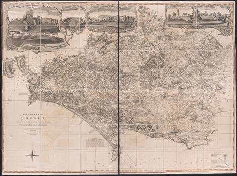
Taylor, Isaac, 1730-1807, cartographer.  The county of Dorset /
Taylor, Isaac, 1730–1807
The county of Dorset
June 1st, 1795
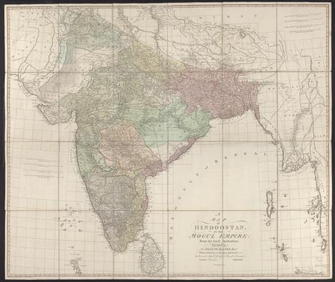
Rennell, James, 1742-1830. A map of Hindoostan or the Mogul Empire :
Rennell, James, 1742–1830
A map of Hindoostan or the Mogul Empire
1788
Senex, John, -1740. A new map of Virginia, Mary-Land, and the improved parts of Pennsylvania & New Jersey
Senex, John, -1740
A new map of Virginia, Mary-Land, and the improved parts of Pennsylvania & New Jersey
1719
Rocque, John, -1762. A map of the county of Middlesex :
Rocque, John, -1762
A map of the county of Middlesex
1757
Evans, Lewis, 1700?-1756, cartographer. A map of Pensilvania, New-Jersey, New-York, and the three Delaware counties
Evans, Lewis, 1700?-1756
A map of Pensilvania, New-Jersey, New-York, and the three Delaware counties
1749
Faden, William, 1749-1836.  A topographical map of the county of Norfolk
Faden, William, 1749–1836
A topographical map of the county of Norfolk
1797
Mitchell, John, 1711-1768, cartographer. A map of the British colonies in North America :
Mitchell, John, 1711–1768
A map of the British colonies in North America
[1775?]
Senex, John, -1740. A new map of the English empire in America
Senex, John, -1740
A new map of the English empire in America
1719
Faden, William, 1749-1836. The sea of Marmara or Propontis :
Faden, William, 1749–1836
The sea of Marmara or Propontis
Jany. 11th, 1786
Seutter, Matthäus, 1678-1757. Recens edita totius Novi Belgii, in America Septentrionali siti /
Seutter, Matthäus, 1678–1757
Recens edita totius Novi Belgii, in America Septentrionali siti
[1730]
Evans, Lewis, 1700?-1756. A general map of the middle British colonies in America :
Evans, Lewis, 1700?-1756
A general map of the middle British colonies in America
1771
Overton, Henry, 1675 or 1676-1751. America.
Overton, Henry, 1675 or 1676–1751
America
[after 1727]
Chapman, John, active 1772-1777, cartographer.  A map of the county of Essex :
Chapman, John, active 1772–1777
A map of the county of Essex
June, 1785
Valck, G. (Gerard), 1651-1726, cartographer. Magna Britannia, aut Anglia, Scotia et Hibernia, quarum prior divisa in septem Regna, sive Provincias, dictas Northumbriam, Merciam, Angliam Orient. Essexiam, Cantium, Sussexiam, Westsexiam, et Princi. Walliae. posterior in Septent. et Austr. Scotiam. postrema in quatuor Provincias Ultoniam, Lageniam, Momoniam, et Conagtiam /
Valck, G. (Gerard), 1651–1726
Magna Britannia, aut Anglia, Scotia et Hibernia, quarum prior divisa in septem Regna, sive Provincias, dictas Northumbriam, Merciam, Angliam Orient. Essexiam, Cantium, Sussexiam, Westsexiam, et Princi. Walliae. posterior in Septent. et Austr. Scotiam. postrema in quatuor Provincias Ultoniam, Lageniam, Momoniam, et Conagtiam
[approximately 1705]
Hodskinson, Joseph, cartographer. The county of Suffolk
Hodskinson, Joseph
The county of Suffolk
1783
Mitchell, John, 1711-1768, cartographer. A map of the British and French dominions in North America :
Mitchell, John, 1711–1768
A map of the British and French dominions in North America
[that is, 1757]
Rocque, John, -1762. A map of the kingdom of Ireland :
Rocque, John, -1762
A map of the kingdom of Ireland
[between 1762 and 1773]
Snell, Robert, fl. 1756-1785. To the nobility, gentry, clergy and others, this map of the county of Monmouth, is most humbly inscribed /
Snell, Robert, fl. 1756–1785
To the nobility, gentry, clergy and others, this map of the county of Monmouth, is most humbly inscribed
1785
Saxton, Christopher, 1542?- cartographer. Wiltshire, wth. Salisbury citty & Stone heng described ano. 1689
Saxton, Christopher, 1542?-
Wiltshire, wth. Salisbury citty & Stone heng described ano. 1689
[approximately 1715?]
Dury, Andrew, cartographer.  A topographical map of Hartford-shire, from an actual survey :
Dury, Andrew
A topographical map of Hartford-shire, from an actual survey
[1782]
Gwynn, John, 1713-1786, cartographer.  A plan for rebuilding the city of London, after the great fire in 1666 :
Gwynn, John, 1713–1786
A plan for rebuilding the city of London, after the great fire in 1666
[1749 October 3]
Cassini, César-François, 1714-1784. Carte de France /
Cassini, César-François, 1714–1784
Carte de France
1744-1760
Andrews, John, 1736-1809, cartographer. A topographical map of Wiltshire :
Andrews, John, 1736–1809
A topographical map of Wiltshire
[1773]
Popple, Henry, -1743, cartographer. A map of the British Empire in America, with the French and Spanish settlements adjacent thereto /
Popple, Henry, -1743
A map of the British Empire in America, with the French and Spanish settlements adjacent thereto
[1739]
 A map of Cambridgeshire.
A map of Cambridgeshire
[1720?]
Bowen, Emanuel, -1767. The County of Cambridge
Bowen, Emanuel, -1767
The County of Cambridge
1759
Saxton, Christopher, 1542?- cartographer. Glamorga[n]shire
Saxton, Christopher, 1542?-
Glamorga[n]shire
[approximately 1715?]
Kitchin, Thomas, 1719-1784, cartographer. A new improved map of Oxfordshire :
Kitchin, Thomas, 1719–1784
A new improved map of Oxfordshire
[1750]
Mitchell, John, 1711-1768, cartographer. A map of the British and French dominions in North America
Mitchell, John, 1711–1768
A map of the British and French dominions in North America
Febry 13th, 1755
Rocque, John, -1762, cartographer.  A general map of North America :
Rocque, John, -1762
A general map of North America
[1762?]
 The English gentleman's guide, or, A new and compleat book of maps of all England and Wales :
The English gentleman's guide, or, A new and compleat book of maps of all England and Wales
[1717?]
Leake, John, cartographer. An exact surveigh of the streets, lanes and churches comprehend[e]d within the ruins of the city of London :
Leake, John
An exact surveigh of the streets, lanes and churches comprehend[e]d within the ruins of the city of London
[1723]
Blaeu, Willem Janszoon, 1571-1638. Blaeu's Atlas of England, Scotland, Wales and Ireland
Blaeu, Willem Janszoon, 1571–1638
Blaeu's Atlas of England, Scotland, Wales and Ireland
[1970]