Search Constraints
You searched for:
Credit Line Yale Center for British Art, Paul Mellon Collection
Remove constraint Credit Line: Yale Center for British Art, Paul Mellon CollectionSubject Terms cartographic material
Remove constraint Subject Terms: cartographic materialSearch Results
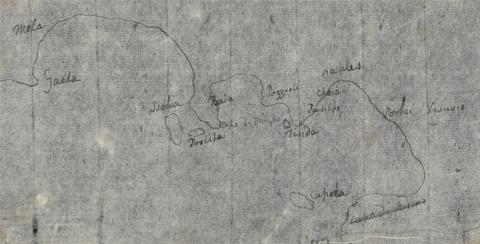
- Date:
- undated
- Materials & Techniques:
- Pen and black ink on thin, slightly textured, cream laid paper
- Dimensions:
- Sheet: 4 1/2 x 7 1/4 inches (11.4 x 18.4 cm)
- Collection:
- Prints and Drawings
- Credit Line:
- Yale Center for British Art, Paul Mellon Collection
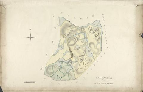
- Date:
- undated
- Materials & Techniques:
- Graphite, watercolor, gray wash, pen and black ink on slightly textured, moderately thick, cream wove paper
- Dimensions:
- Sheet: 25 1/8 × 37 1/4 inches (63.8 × 94.6 cm)
- Collection:
- Prints and Drawings
- Credit Line:
- Yale Center for British Art, Paul Mellon Collection
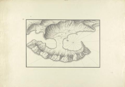
- Date:
- ca. 1750
- Materials & Techniques:
- Black ink with gray wash over graphite on moderately thick, moderately textured, beige laid paper
- Dimensions:
- Sheet: 14 5/8 x 21 1/4 inches (37.2 x 53.9 cm)
- Collection:
- Prints and Drawings
- Credit Line:
- Yale Center for British Art, Paul Mellon Collection
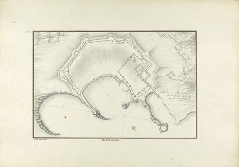
- Date:
- ca. 1750
- Materials & Techniques:
- Black ink with gray wash over graphite on moderately thick, moderately textured, beige laid paper
- Dimensions:
- Sheet: 14 7/8 x 21 7/16 inches (37.8 x 54.5 cm)
- Collection:
- Prints and Drawings
- Credit Line:
- Yale Center for British Art, Paul Mellon Collection
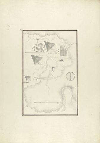
- Date:
- ca. 1750
- Materials & Techniques:
- Gray wash with black and brown ink over graphite on moderately thick, moderately textured, beige laid paper
- Dimensions:
- Sheet: 21 1/4 x 14 15/16 inches (53.9 x 37.9 cm)
- Collection:
- Prints and Drawings
- Credit Line:
- Yale Center for British Art, Paul Mellon Collection
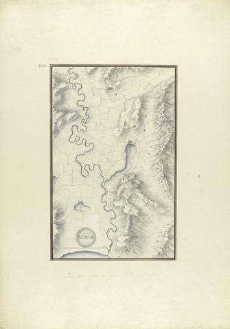
- Date:
- ca. 1750
- Materials & Techniques:
- Gray wash with black and brown ink over graphite on moderately thick, moderately textured, beige laid paper
- Dimensions:
- Sheet: 21 5/16 x 15 1/16 inches (54.1 x 38.3 cm)
- Collection:
- Prints and Drawings
- Credit Line:
- Yale Center for British Art, Paul Mellon Collection
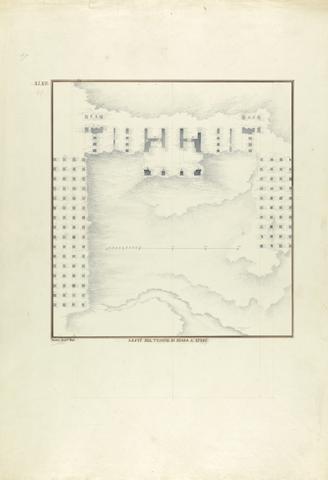
- Date:
- ca. 1750
- Materials & Techniques:
- Gray wash with black ink over graphite on moderately thick, moderately textured, beige laid paper
- Dimensions:
- Sheet: 21 9/16 x 14 15/16 inches (54.7 x 38 cm)
- Collection:
- Prints and Drawings
- Credit Line:
- Yale Center for British Art, Paul Mellon Collection
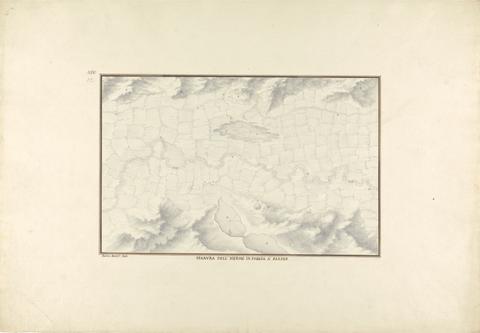
- Date:
- ca. 1750
- Materials & Techniques:
- Black and brown ink with gray wash over graphite on moderately thick, moderately textured, beige laid paper
- Dimensions:
- Sheet: 14 3/4 x 21 5/16 inches (37.5 x 54.1 cm)
- Collection:
- Prints and Drawings
- Credit Line:
- Yale Center for British Art, Paul Mellon Collection
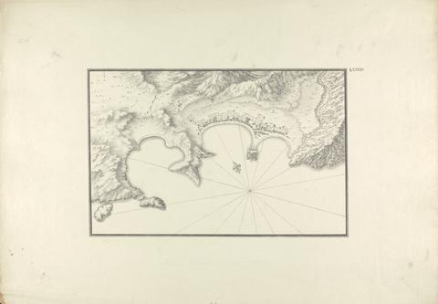
- Date:
- ca. 1750
- Materials & Techniques:
- Black ink with gray wash over graphite on moderately thick, moderately textured, beige laid paper
- Dimensions:
- Sheet: 14 3/4 x 21 1/8 inches (37.4 x 53.7 cm)
- Collection:
- Prints and Drawings
- Credit Line:
- Yale Center for British Art, Paul Mellon Collection
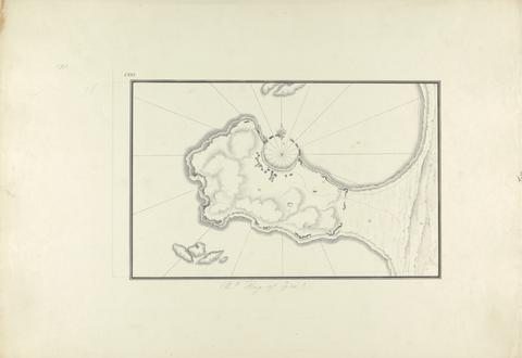
- Date:
- ca. 1750
- Materials & Techniques:
- Black ink with gray wash over graphite on moderately thick, moderately textured, beige laid paper
- Dimensions:
- Sheet: 14 3/4 x 21 1/4 inches (37.5 x 54 cm)
- Collection:
- Prints and Drawings
- Credit Line:
- Yale Center for British Art, Paul Mellon Collection
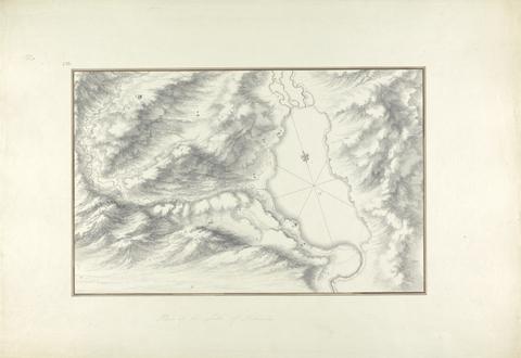
- Date:
- ca. 1750
- Materials & Techniques:
- Black ink with gray wash over graphite on moderately thick, moderately textured, beige laid paper
- Dimensions:
- Sheet: 14 13/16 x 21 7/16 inches (37.7 x 54.5 cm)
- Collection:
- Prints and Drawings
- Credit Line:
- Yale Center for British Art, Paul Mellon Collection
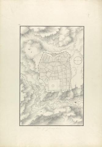
- Date:
- ca. 1750
- Materials & Techniques:
- Gray wash with black and brown ink over graphite on moderately thick, moderately textured, beige laid paper
- Dimensions:
- Sheet: 21 7/16 x 15 inches (54.5 x 38.1 cm)
- Collection:
- Prints and Drawings
- Credit Line:
- Yale Center for British Art, Paul Mellon Collection
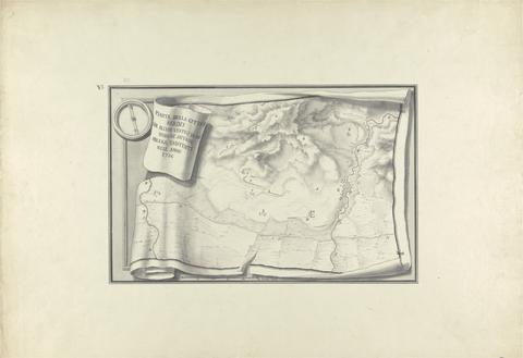
- Date:
- ca. 1750
- Materials & Techniques:
- Black ink and gray wash over graphite on moderately thick, moderately textured, beige laid paper
- Dimensions:
- Sheet: 15 x 21 1/4 inches (38.1 x 54 cm)
- Collection:
- Prints and Drawings
- Credit Line:
- Yale Center for British Art, Paul Mellon Collection
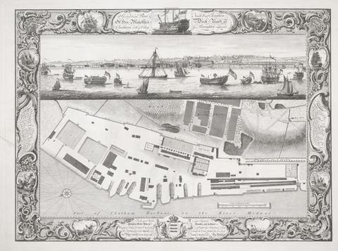
- Date:
- 1755
- Materials & Techniques:
- Line engraving on medium, moderately textured, cream laid paper
- Dimensions:
- Sheet: 22 1/8 × 28 13/16 inches (56.2 × 73.2 cm)
- Collection:
- Prints and Drawings
- Credit Line:
- Yale Center for British Art, Paul Mellon Collection
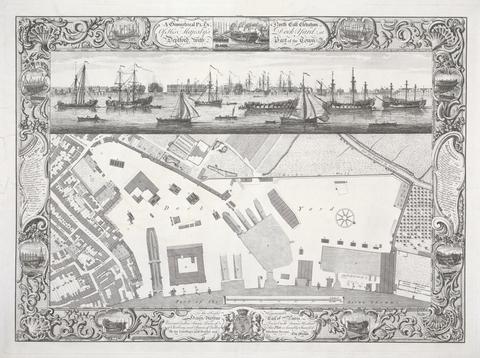
- Date:
- 1755
- Materials & Techniques:
- Line engraving on medium, moderately textured, cream laid paper
- Dimensions:
- Sheet: 21 1/2 × 28 9/16 inches (54.6 × 72.5 cm)
- Collection:
- Prints and Drawings
- Credit Line:
- Yale Center for British Art, Paul Mellon Collection
![Map of North America from Florida to Chesapeake Bay, after the original by John White in the British Museum [Sir Walter Raleigh's Virginia, No. 110]](https://media.collections.yale.edu/thumbnail/ycba/f14d2599-644f-40b2-8aee-01feeb08ac1a)
- Date:
- undated
- Materials & Techniques:
- Watercolor over graphite, pen and brown ink, and gouache on medium, moderately textured, cream laid paper
- Dimensions:
- Sheet: 14 1/4 × 17 11/16 inches (36.2 × 44.9 cm)
- Collection:
- Prints and Drawings
- Credit Line:
- Yale Center for British Art, Paul Mellon Collection
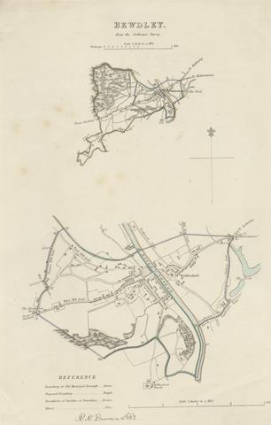
- Date:
- undated
- Materials & Techniques:
- Etching with hand coloring on moderately thick, slightly textured, cream wove paper
- Dimensions:
- Sheet: 13 9/16 × 8 7/16 inches (34.4 × 21.4 cm)
- Collection:
- Prints and Drawings
- Credit Line:
- Yale Center for British Art, Paul Mellon Collection
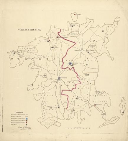
- Date:
- undated
- Materials & Techniques:
- Etching with hand coloring on moderately thick, slightly textured, cream wove paper
- Dimensions:
- Sheet: 13 13/16 x 12 5/8 inches (35.1 x 32 cm)
- Collection:
- Prints and Drawings
- Credit Line:
- Yale Center for British Art, Paul Mellon Collection
![Map of Raleigh's Virginia: The East Coast of North America from Cape Lookout to Chesapeake Bay, after original by John White in the British Museum [Sir Walter Raleigh's Virginia, No. 111 A]](https://media.collections.yale.edu/thumbnail/ycba/aa273bf1-4d54-4726-99f1-aa8836010023)
- Date:
- undated
- Materials & Techniques:
- Watercolor, in pen, with brown ink, graphite and gouache on medium, moderately textured, cream laid paper
- Dimensions:
- Sheet: 17 15/16 × 8 15/16 inches (45.6 × 22.7 cm)
- Collection:
- Prints and Drawings
- Credit Line:
- Yale Center for British Art, Paul Mellon Collection
![Coastal Profiles of Dominica and Santa Cruz, after the original by John White in the British Museum [Caribbean and Oceanic, No. 2]](https://media.collections.yale.edu/thumbnail/ycba/87265a76-e03b-41c1-8f1b-d4a20ba2b191)
- Date:
- undated
- Materials & Techniques:
- Pen in brown ink, over graphite, with watercolor and gouache on medium, moderately textured, cream laid paper
- Dimensions:
- Sheet: 9 1/2 × 8 7/16 inches (24.1 × 21.4 cm)
- Collection:
- Prints and Drawings
- Credit Line:
- Yale Center for British Art, Paul Mellon Collection
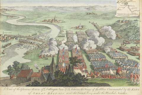
- Materials & Techniques:
- Hand-colored engraving
- Collection:
- Prints and Drawings
- Credit Line:
- Yale Center for British Art, Paul Mellon Collection
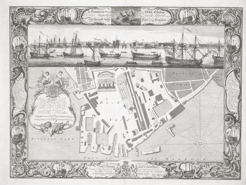
- Date:
- 1754
- Materials & Techniques:
- Line engraving on medium, moderately textured, cream laid paper
- Dimensions:
- Sheet: 18 3/4 x 25 1/4in. (47.6 x 64.1cm)
- Collection:
- Prints and Drawings
- Credit Line:
- Yale Center for British Art, Paul Mellon Collection
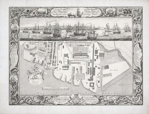
- Date:
- 1756
- Materials & Techniques:
- Line engraving on medium, moderately textured, cream laid paper mounted on laid paper
- Dimensions:
- Sheet: 22 1/16 × 28 13/16 inches (56 × 73.2 cm)
- Collection:
- Prints and Drawings
- Credit Line:
- Yale Center for British Art, Paul Mellon Collection
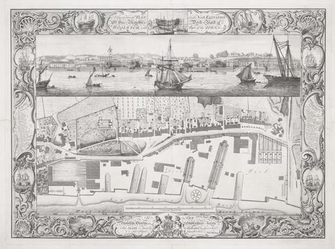
- Date:
- 1753
- Materials & Techniques:
- Line engraving on medium, moderately textured, cream laid paper
- Dimensions:
- Sheet: 22 1/8 × 28 9/16 inches (56.2 × 72.5 cm)
- Collection:
- Prints and Drawings
- Credit Line:
- Yale Center for British Art, Paul Mellon Collection
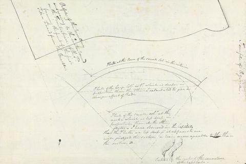
- Date:
- undated
- Materials & Techniques:
- Pen and gray ink with traces of graphite on medium, moderately textured, cream laid paper
- Dimensions:
- Sheet: 8 3/8 × 12 1/2 inches (21.3 × 31.8 cm)
- Collection:
- Prints and Drawings
- Credit Line:
- Yale Center for British Art, Paul Mellon Collection